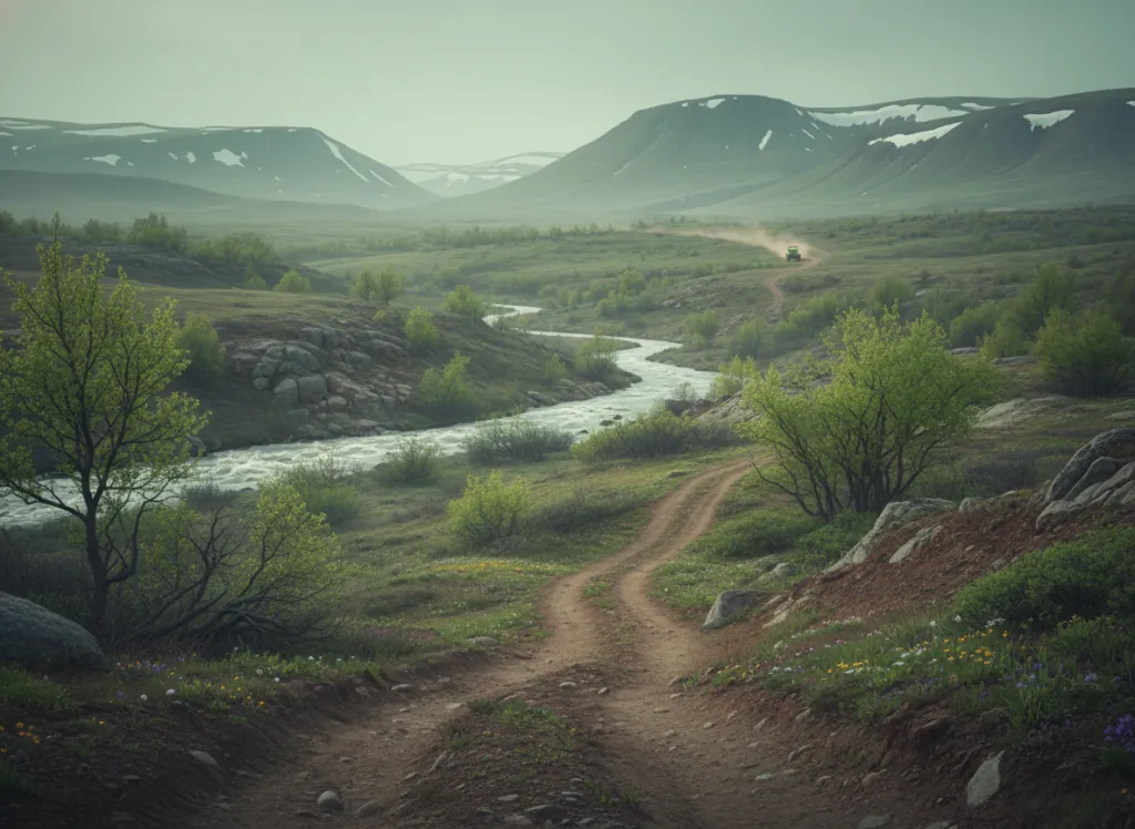
Grand Mesa National Forest hosts designated OHV trails across the top of the Grand Mesa: the world's largest flat-top mountain, a volcanic basalt plateau northeast of Grand Junction in Mesa County, Colorado, rising to over 11,000 feet above sea level. The Grand Mesa's flat-top geography is geologically unusual and recreationally distinctive: the mesa top is a rolling plateau of alpine meadow, aspen groves, and more than 300 small lakes and reservoirs sitting at 9,000 to 11,000 feet elevation, surrounded by the steep canyon walls that define the mesa's perimeter and separate the high plateau from the Colorado Plateau basin far below. Trail access is primarily via Highway 65 near the Lands End Road junction, which crests the mesa from the western side. The OHV routes traverse the mesa through mixed terrain: moderate forest doubletrack through aspen and spruce corridors at mid-elevations, alpine meadow traverses above treeline with the sweeping views across the Colorado Plateau that are the Grand Mesa's defining visual experience, and technical rocky routes on the approach ridges where the basalt cap produces the broken-rock surface distinctive of volcanic flat-top geology. ATVs, UTVs, and motorcycles are permitted on designated trails; Colorado OHV registration is required for all machines. Dispersed camping and developed campgrounds are available on the national forest at no additional trailhead fee. Season is approximately late June through October depending on annual snowpack, the 11,000-foot plateau holds snow well into summer in heavy years. Contact the GMUG Grand Junction Ranger District for current trail status and snow conditions (970-242-8211).
Hours
Accessible late June through October depending on snowpack; no day-use fee.
Phone
970-242-8211Trip openings, seasonal updates, and the occasional deal, straight to your inbox.
FAQ
Everything you need to know before you get started.
Have a question, or ready to book? Reach out and we’ll get right back to you.